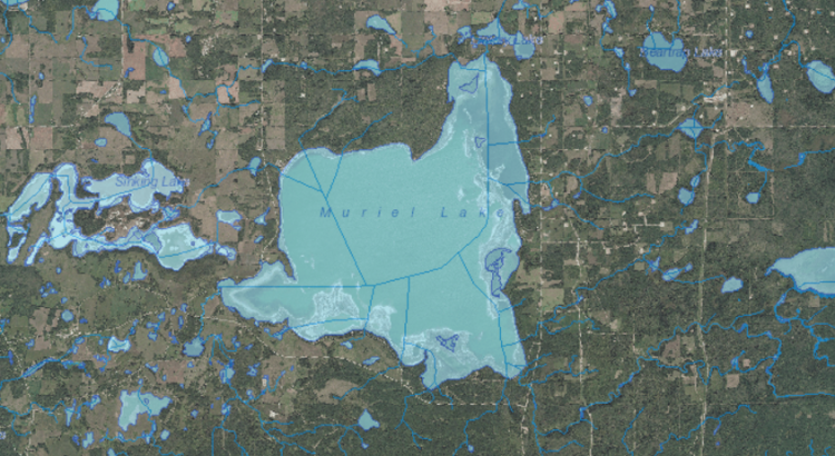
We are currently working to address the declining water level in Muriel Lake. This is the 2015 aerial view of the lake.
https://www.facebook.com/Savemuriellake/videos/973070692787007/
https://www.facebook.com/justin.hlewka/videos/10210136124500550/
We are currently working to address the declining water level in Muriel Lake. This is the 2015 aerial view of the lake.
https://www.facebook.com/Savemuriellake/videos/973070692787007/
https://www.facebook.com/justin.hlewka/videos/10210136124500550/