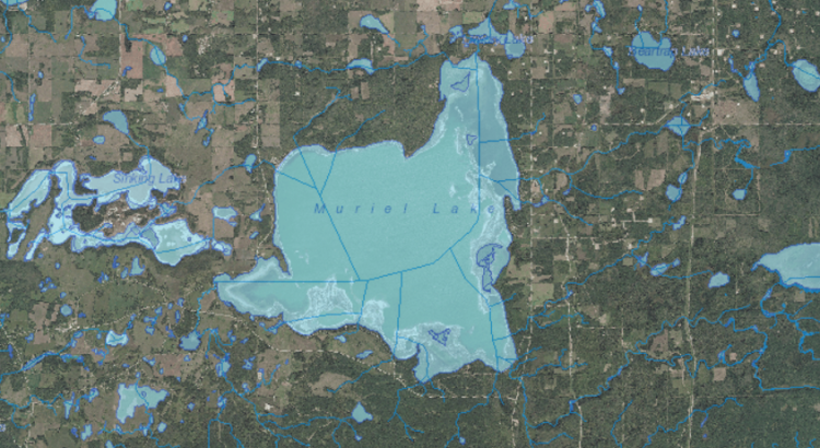
We are currently working to address the declining water level in Muriel Lake. This is the 2015 aerial view of the lake.
https://www.facebook.com/Savemuriellake/videos/973070692787007/
https://www.facebook.com/justin.hlewka/videos/10210136124500550/
This category is for the slider images ONLY.
We are currently working to address the declining water level in Muriel Lake. This is the 2015 aerial view of the lake.
https://www.facebook.com/Savemuriellake/videos/973070692787007/
https://www.facebook.com/justin.hlewka/videos/10210136124500550/
The Muriel Lake Basin Management Society is a registered “Not for Profit” Charitable organization. Our goal as a committee is to have an “Arm’s Length Study” conducted to find reasons for the drastic and continuing decline of Muriel Lake. The MLBMS would like to restore the lake water levels and make it a usable water resource for all Albertan’s, with the assistance of government, industrial and private agencies.
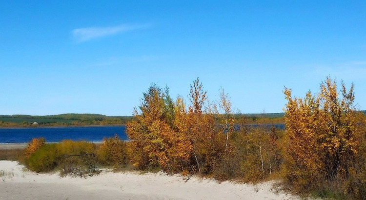
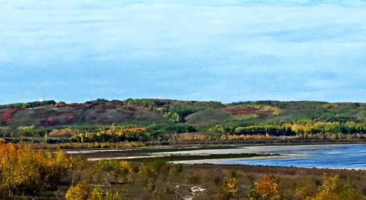
The lake has lost almost 60% of its volume.
This water body is no longer usable as a recreational lake, due to the severe low levels which makes most power boating impossible or dangerous, sport fishing no longer exists as the game fish have all perished from the shallow levels and winter kill, and swimming is very difficult and not very enjoyable because of the muddy bottom.